- elevation 2,710 ft (826 m) Length 17 km Basin area 41.18 km² Mouth Clearwater River | - elevation 390 ft (119 m) Basin area 41.18 km² | |
 | ||
The Solleks River is a river in the U.S. state of Washington. It is a tributary of the Clearwater River, which in turn flows into the Queets River.
Contents
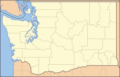
Map of Solleks River, Washington, USA
The Solleks River is 10.7 miles (17.2 km) long. Its drainage basin is 15.9 square miles (41 km2) in area.
Course
The Solleks River originates in the Olympic Mountains on the Olympic Peninsula, about 5 miles (8.0 km) northeast of the mountain known as Kloochman Rock. It flows west to join the Clearwater River near Upper Clearwater Campground.
References
Solleks River Wikipedia(Text) CC BY-SA
