
Country Sweden Seat Sollefteå ISO 3166 code SE Province Ångermanland | Time zone CET (UTC+1) Municipal code 2283 Team Sollefteå HK | |
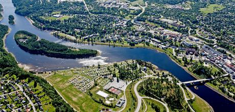 | ||
Sollefteå Municipality (Swedish: Sollefteå kommun) is a Swedish municipality in Västernorrland County. Its seat is located in Sollefteå.
Contents
Map of Sollefte%C3%A5, Sweden
The former City of Sollefteå (instituted in 1917) was amalgamated with the surrounding entities in 1974 to form the present municipality. It consists of fifteen original (1863) units.
Geographically, the landscape is dominated by woods, and by the Ångerman River and its tributaries Faxälven and Fjällsjöälven, which cross through the municipality.
Historically, the name is found as early as the 13th century in the form of the Latin De Solatum, which would translate to "The Sunny Place" (or so). A market place was situated here in 1602 on Royal permission. The city's coat of arms depicts a Black Grouse.
Localities
Twin towns — Sister cities
Sollefteå is twinned with: