
Intercommunality Plaine Vallée Area 3.98 km² Local time Saturday 10:21 PM | Region Île-de-France Time zone CET (UTC+1) Population 17,419 (2007) | |
 | ||
Weather 12°C, Wind NE at 16 km/h, 47% Humidity | ||
Pr sentation du canton de soisy sous montmorency
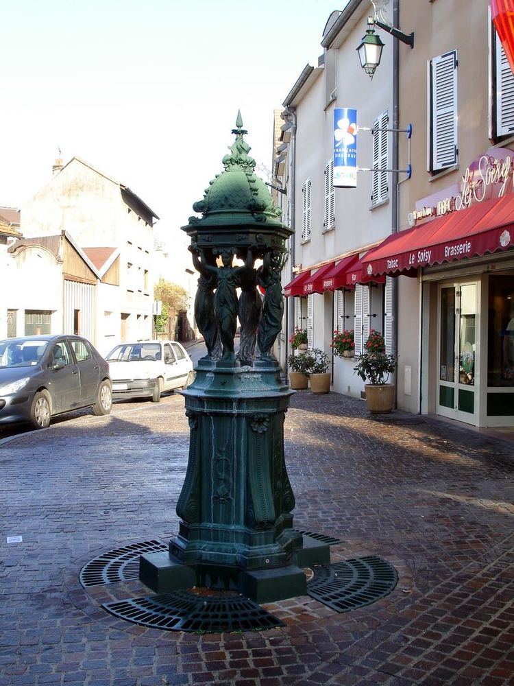
Soisy-sous-Montmorency is a commune in the Val-d'Oise département located 15.3 km (9.5 mi) north of Paris, France.
Contents
- Pr sentation du canton de soisy sous montmorency
- Map of Soisy sous Montmorency France
- Inauguration de pavillons sociaux soisy sous montmorency
- History
- Transport
- References
Map of Soisy-sous-Montmorency, France
Inauguration de pavillons sociaux soisy sous montmorency
History
On 7 August 1850, a part of the territory of Soisy-sous-Montmorency was detached and merged with a part of the territory of Saint-Gratien, a part of the territory of Deuil-la-Barre, and a part of the territory of Épinay-sur-Seine to create the commune of Enghien-les-Bains.
Transport
Soisy-sous-Montmorency is served by Champ de Courses d'Enghien train station on the SNCF Transilien Paris – Nord suburban rail line.
References
Soisy-sous-Montmorency Wikipedia(Text) CC BY-SA