
Mission type Earth observation COSPAR ID 2009-059A Launch date 2 November 2009 Inclination 98.44° Manufacturer European Space Agency | Operator ESA SATCAT no. 36036 Inclination 98.44° Period 1.7 hours | |
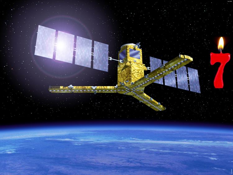 | ||
Website www.esa.int/esaLP/LPsmos.html Mission duration Planned: 3 yearsElapsed: 7 years, 4 months, 19 days Similar Soil Moisture Active Pa, Aquarius, Gravity Field and Steady‑St, Aqua, Rokot | ||
Soil moisture and ocean salinity smos mission
Soil Moisture and Ocean Salinity, or SMOS, is a satellite which forms part of ESA's Living Planet Programme. It is intended to provide new insights into Earth's water cycle and climate. In addition, it is intended to provide improved weather forecasting and monitoring of snow and ice accumulation.
Contents
History
The project was proposed in November 1998; in 2004 the project passed ESA-phase "C/D" and, after several delays, it was launched on 2 November 2009 from Plesetsk Cosmodrome on a Rockot rocket. The first data from the MIRAS (Microwave Imaging Radiometer using Aperture Synthesis) instrument was received on 20 November 2009. The SMOS programme cost is about €315 million ($465 million; £280 million). It is led by ESA but with significant input from French and Spanish interests.
The satellite is part of ESA's Earth Explorer programme – eight spacecraft that will do innovative science in obtaining data on issues of pressing environmental concern. The first is already in orbit – a mission called GOCE, which is mapping variations in the pull of gravity across the Earth's surface. SMOS is the second Explorer to launch; and a third spacecraft, known as CryoSat-2 (the first CryoSat failed on launch), was launched on 8 April 2010. CryoSat will assess the state of the world's ice cover.
Launcher
The satellite was launched on 2 November 2009 (04:50 (01:50 GMT)) to a nearly circular orbit of 763 km by a “Rockot”, a modified Russian Intercontinental Ballistic Missile (ICBM) SS-19 launched from a decommissioned SS-19 launcher from Northern Russia's Plesetsk Cosmodrome. The SMOS satellite was launched together with the Proba-2, a technology demonstration satellite.
Science
The goal of the SMOS mission is to monitor surface soil moisture with an accuracy of 4% (at 35–50 km spatial resolution). This aspect is managed by the HYDROS project. Project Aquarius will attempt to monitor sea surface salinity with an accuracy of 0.1 psu (10- to 30-day average and a spatial resolution of 200 km x 200 km).
Soil moisture is an important aspect of climate, and therefore forecasting. Plants transpire water from depths lower than 1 meter in many places and satellites like SMOS can only provide moisture content down to a few centimeters, but using repeated measurements in a day, the satellite can extrapolate soil moisture. The SMOS team of ESA hope to work with farmers around the world, including the United States Department of Agriculture to use as ground-based calibration for models determining soil moisture, as it may help to better understand crop yields over wide regions.
Ocean salinity is crucial to the understanding of the role of the ocean in climate through the global water cycle. Salinity in combination with temperature determine ocean circulation by defining its density and hence thermohaline circulation. Additionally, ocean salinity is one of the variables that regulate CO2 uptake and release and therefore has an effect on the oceanic carbon cycle.
Information from SMOS is expected to help improve short and medium-term weather forecasts, and also have practical applications in areas such as agriculture and water resource management. In addition, climate models should benefit from having a more precise picture of the scale and speed of movement of water in the different components of the hydrological cycle.
Instrumentation
The SMOS satellite carries a new type of instrument called Microwave Imaging Radiometer with Aperture Synthesis (MIRAS). Some eight metres across, it has the look of helicopter rotor blades; the instrument creates images of radiation emitted in the microwave L-band (1.4 GHz). MIRAS will measure changes in the wetness of the land and in the salinity of seawater by observing variations in the natural microwave emission coming up off the surface of the planet.
Operations and ground segment
The CNES Satellite Operations Ground Segment will operate the spacecraft with telecommunications from ESA's S-band facility located in Kiruna, Sweden. The Data Processing Ground Segment (CDTI, Villafranca, Spain) will process SMOS data through the X-band. Higher level processing of information will be done by scientists globally.