
Mountains Mount Braun | Country Antarctica | |
 | ||
For Sofia University in USA, click here.
Contents
Sofia University Mountains (Planina Sofiyski Universitet pla-ni-'na so-'fiy-ski u-ni-ver-si-'tet) are a cluster of three small mountains, 14 kilometres (8.7 mi) long in the north-south direction and 5.5 kilometres (3.4 mi) wide, rising to 1,500 metres (1,600 yd) (Mount Kliment Ohridski) in north-western Alexander Island.
They are located south-southeast of Havre Mountains, southwest of Rouen Mountains, northwest of Elgar Uplands, east of the northern part of Lassus Mountains, and 6 kilometres (3.7 mi) inland from Lazarev Bay. Bounded by Palestrina Glacier to the north, by the 8 kilometres (5.0 mi) long, ice-filled Poste Valley to the east, by Nichols Snowfield to the southeast, and by McManus Glacier to the west. The mountains include Balan Ridge to the northeast and the ridge of Mount Braun to the northwest, with Yozola Glacier flowing northwards in between them to join Palestrina Glacier, and the ridge of Mount Kliment Ohridski to the south.
The name is of national culture and was given in commemoration of the centennial of Sofia University. During the first Bulgarian Antarctic campaign organized on that occasion, neighbouring Rouen Mountains and Elgar Uplands were visited in February 1988 by a field party including two members of the British Antarctic Survey, geologist Philip Nell and mountain guide Peter Marquis, and two Bulgarian geologists, Christo Pimpirev and Borislav Kamenov.
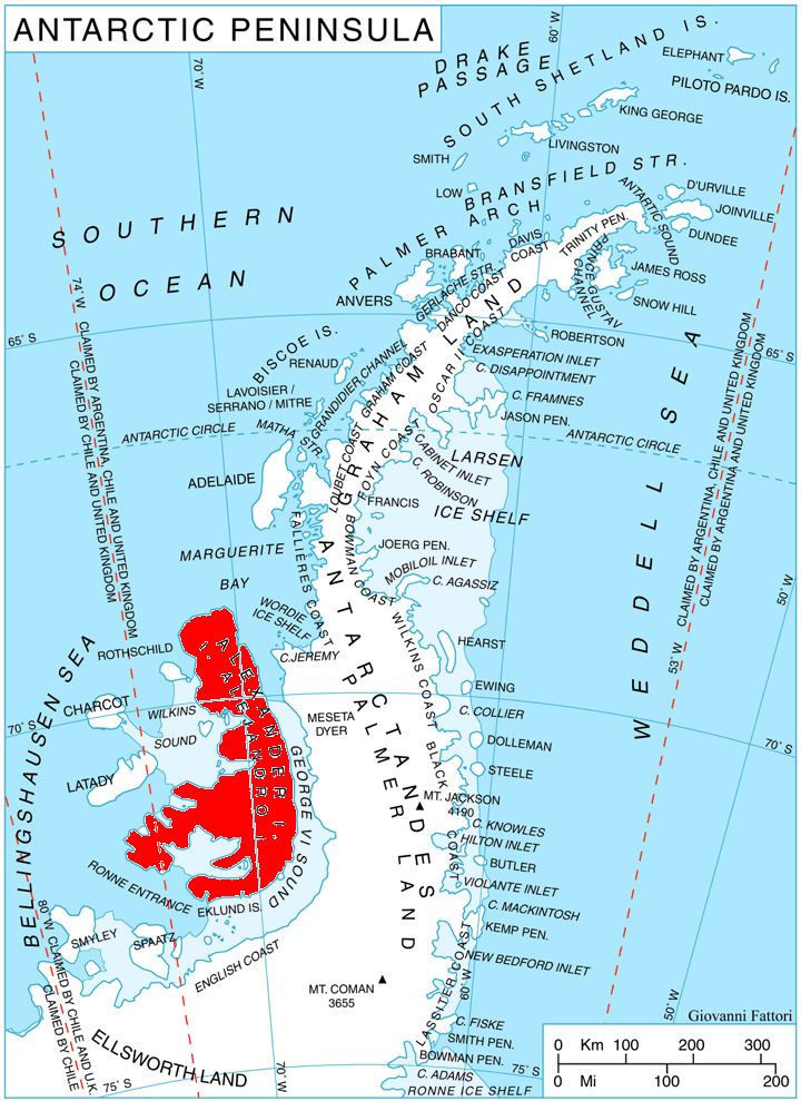
Location
The mountains are centred at 69°26′35″S 71°23′20″W. They were seen from the air and roughly mapped by the 1936-37 British Graham Land Expedition with more detailed British mapping in 1960 from air photos taken by the 1947-48 US Expedition under Ronne.