
Country Thailand Time zone THA (UTC+7) Geocode 5204 Province Lampang Province | Seat Thung Ngam Postal code 52130 Area 631.7 km² Population 32,714 (2005) | |
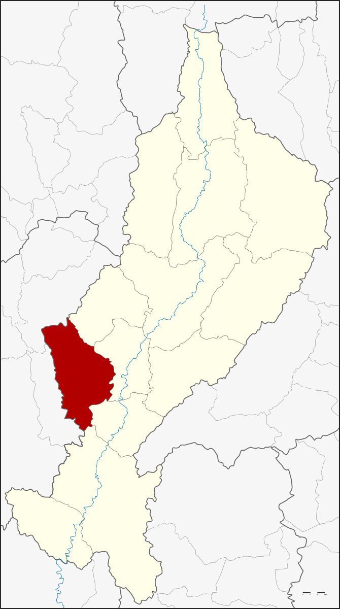 | ||
Soem Ngam (Thai: เสริมงาม; Lanna: [sɤ̌ːm ŋāːm]) is a district (amphoe) in the western part of Lampang Province, northern Thailand.
Contents
Map of Soem Ngam District, Lampang 52210, Thailand
Geography
Neighboring districts are (from the northeast clockwise): Hang Chat, Ko Kha, Sop Prap, Thoen of Lampang Province, Thung Hua Chang and Mae Tha of Lamphun Province.
The Khun Tan Range stretches from north to south along the district.
History
Soem Ngan was established as a minor district (King Amphoe) on August 16, 1971 by splitting off the three tambon Thung Ngam, Soem Khwa and Soem Sai from Ko Ka district. The minor district was upgraded to a full district on August 21, 1975.
Administration
The district is subdivided into four subdistricts (tambon), which are further subdivided into 42 villages (muban). Soem Ngam is a subdistrict municipality (thesaban tambon) which covers parts of the tambon Thung Ngam, Soem Sai and Soem Klang. There are further four Tambon administrative organizations (TAO).