
Car plates WSC | Area 731 km² | |
 | ||
Gminas Total 8 (incl. 1 urban)SochaczewGmina BrochówGmina IłówGmina MłodzieszynGmina Nowa SuchaGmina RybnoGmina SochaczewGmina Teresin Points of interest Kampinos National Park, Birthplace of Frédéric Chopin, Narrow Gauge Railway, Muzeum Św Maksymili, Museum of Sochaczew's area and | ||
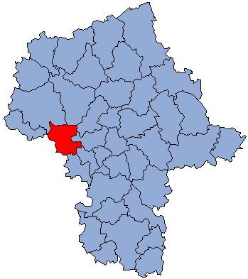
Sochaczew County (Polish: powiat sochaczewski) is a unit of territorial administration and local government (powiat) in Masovian Voivodeship, east-central Poland. It came into being on January 1, 1999, as a result of the Polish local government reforms passed in 1998. Its administrative seat and only town is Sochaczew, which lies 52 kilometres (32 mi) west of Warsaw.
Contents
Map of Sochaczew County, Poland
The county covers an area of 731.02 square kilometres (282.2 sq mi). As of 2006 its total population is 83,318, out of which the population of Sochaczew is 37,925 and the rural population is 45,393.
Neighbouring counties
Sochaczew County is bordered by Płońsk County to the north, Nowy Dwór Mazowiecki County to the north-east, Warsaw West County and Grodzisk Mazowiecki County to the east, Żyrardów County to the south-east, Skierniewice County to the south, Łowicz County to the south-west, Gostynin County to the west, and Płock County to the north-west.
Administrative division
The county is subdivided into eight gminas (one urban and seven rural). These are listed in the following table, in descending order of population.