
Country United States FIPS code 31-45610 Elevation 409 m Zip code 68664 Local time Friday 10:14 PM | Time zone Central (CST) (UTC-6) GNIS feature ID 0833522 Area 124 ha Population 298 (2013) Area code 402 | |
 | ||
Weather 5°C, Wind N at 24 km/h, 94% Humidity | ||
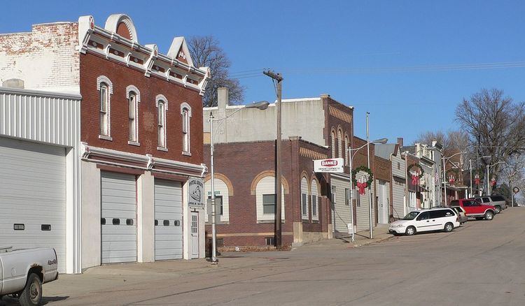
Snyder is a village in Dodge County, Nebraska, United States. The population was 300 at the 2010 census.
Contents
Map of Snyder, NE, USA
History
Snyder was platted in 1886 when the Fremont, Elkhorn and Missouri Valley Railroad was extended to that point. It was named for Conrad Schneider, the original owner of the town site. Snyder was incorporated as a village in 1890.
Geography
Snyder is located at 41°42′16″N 96°47′17″W (41.704483, -96.787945).
According to the United States Census Bureau, the village has a total area of 0.48 square miles (1.24 km2), all of it land.
2010 census
As of the census of 2010, there were 300 people, 127 households, and 76 families residing in the village. The population density was 625.0 inhabitants per square mile (241.3/km2). There were 144 housing units at an average density of 300.0 per square mile (115.8/km2). The racial makeup of the village was 99.3% White, 0.3% Native American, and 0.3% from two or more races. Hispanic or Latino of any race were 1.3% of the population.
There were 127 households of which 29.1% had children under the age of 18 living with them, 49.6% were married couples living together, 4.7% had a female householder with no husband present, 5.5% had a male householder with no wife present, and 40.2% were non-families. 34.6% of all households were made up of individuals and 14.2% had someone living alone who was 65 years of age or older. The average household size was 2.36 and the average family size was 3.14.
The median age in the village was 41.4 years. 27.3% of residents were under the age of 18; 4.3% were between the ages of 18 and 24; 23.3% were from 25 to 44; 27.3% were from 45 to 64; and 17.7% were 65 years of age or older. The gender makeup of the village was 49.7% male and 50.3% female.
2000 census
As of the census of 2000, there were 318 people, 135 households, and 81 families residing in the village. The population density was 642.7 people per square mile (250.6/km²). There were 147 housing units at an average density of 297.1 per square mile (115.8/km²). The racial makeup of the village was 97.17% White, 0.63% Native American, 0.31% Asian, and 1.89% from two or more races.
There were 135 households out of which 30.4% had children under the age of 18 living with them, 50.4% were married couples living together, 8.1% had a female householder with no husband present, and 39.3% were non-families. 34.8% of all households were made up of individuals and 17.8% had someone living alone who was 65 years of age or older. The average household size was 2.36 and the average family size was 3.05.
In the village, the population was spread out with 28.0% under the age of 18, 6.0% from 18 to 24, 26.4% from 25 to 44, 20.4% from 45 to 64, and 19.2% who were 65 years of age or older. The median age was 38 years. For every 100 females there were 83.8 males. For every 100 females age 18 and over, there were 95.7 males.
As of 2000 the median income for a household in the village was $30,536, and the median income for a family was $37,917. Males had a median income of $29,135 versus $17,266 for females. The per capita income for the village was $20,365. About 2.4% of families and 7.0% of the population were below the poverty line, including 2.1% of those under age 18 and 11.7% of those age 65 or over.