
 | ||
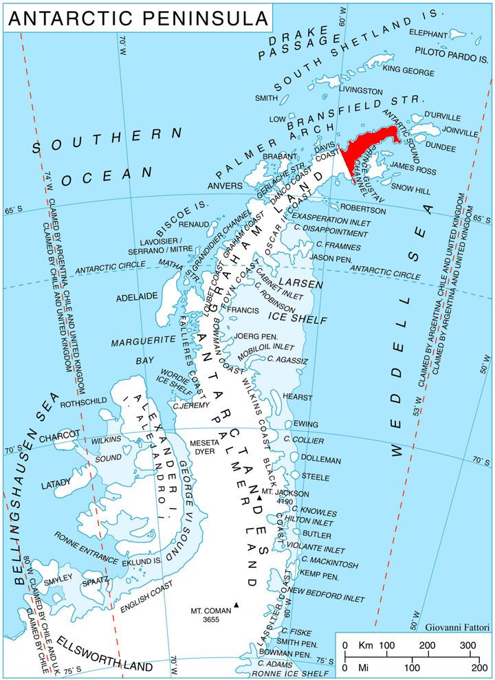
Snegotin Ridge (Bulgarian: Снеготински рид, ‘Snegotinski Rid’ \'sne-go-tin-ski 'rid) is the ice-covered ridge rising to over 1200 m on the northwest side of Louis-Philippe Plateau on Trinity Peninsula in Graham Land, Antarctica. It is overlooking Bransfield Strait to the north, and Prelez Gap and the head of Malorad Glacier to the west-soothwest. Snegotin Ridge is extending 6.5 km in southwest-northeast direction, 4 km wide, and linked to the south to Louis-Philippe Plateau by Huhla Col.
Contents
The ridge is named after the settlement of Snegotin in Southern Bulgaria.
Location
Snegotin Ridge is centred at 63°33′40″S 58°27′50″W. German-British mapping in 1996.
Maps
References
Snegotin Ridge Wikipedia(Text) CC BY-SA