Sovereign state United Kingdom Postcode district TN26 Local time Friday 11:25 PM | ||
 | ||
Weather 8°C, Wind NE at 23 km/h, 84% Humidity | ||
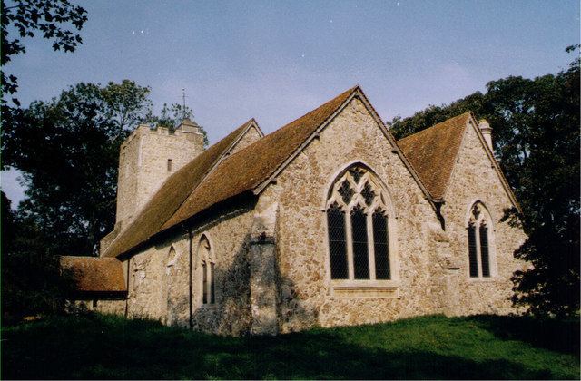
Snave is a very small hamlet on Romney Marsh in Kent, England centred close to the A2070 road 8 miles (13 km) south of Ashford. Its buildings are a few houses, barns and store sheds and the church of St Augustine which holds one service per year at harvest festival. In spring, the churchyard is heavily clad in daffodils. The church falls under the ecumenical/ecclesiastical (Anglican/Methodist) parish of Hamstreet and Orlestone but the civil parish administering local services is Brenzett(where the population is included).
Map of Snave, Ashford, UK
The nearest shops and railway station are at Hamstreet (3 miles) save for a petrol station at Brenzett (2 miles).
Animals have along been part of the economy. Sheep tending and wool manufacture is a major part of the history of Romney Marsh. Veterinary practices and a boarding cattery are among the local businesses.
