
Max. width 4.4 km (2.7 mi) Average depth 5.1 m (17 ft) Area 5.59 km² Length 4 km | Max. length 4 km (2.5 mi) Surface area 5.59 km (2.16 sq mi) Surface elevation 835 m Mean depth 5.1 m Width 4.4 km | |
 | ||
Location | ||
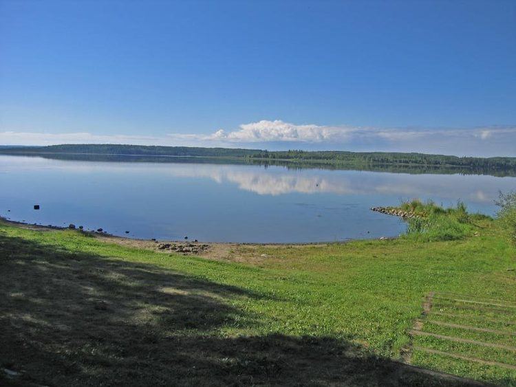
Smoke Lake is a lake in northwest Alberta within the Municipal District of Greenview No. 16. It is located southwest of Fox Creek, approximately 9 km (5.6 mi) from Highway 43.
Contents
- Map of Smoke Lake Greenview No 16 AB Canada
- Provincial recreation area
- Camping
- Recreation
- Fish species
- References
Map of Smoke Lake, Greenview No. 16, AB, Canada
Provincial recreation area
The Smoke Lake Provincial Recreation Area is located on the northeast shore of Smoke Lake.
Camping
Operated by the Town of Fox Creek, the recreation area includes a campground featuring 47 campsites and a day use site. Camping season begins on May 24 and ends on October 1.
Recreation
Other recreational activities include canoeing/kayaking, cross-country skiing, fishing, ice fishing, power boating, snowmobiling (off-site), swimming, and water-skiing.
Fish species
Fish species in Smoke Lake include burbot, Iowa darter, lake whitefish, longnose sucker, northern pike, spottail shiner, trout-perch, tullibee (cisco), walleye, white sucker, and yellow perch.