
 | ||
Islands Eigg, Rùm, Canna - Scotland, Sanday, Eilean Chathastail Points of interest Kinloch Castle, An Sgùrr, Askival | ||
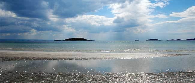
The Small Isles (Scottish Gaelic: Na h-Eileanan Tarsainn) are a small archipelago of islands in the Inner Hebrides, off the west coast of Scotland. They lie south of Skye and north of Mull and Ardnamurchan – the most westerly point of mainland Scotland. The Small Isles is one of 40 National Scenic Areas in Scotland.
Contents
Map of Small Isles, United Kingdom
Main islands
The four main islands are Canna, Rùm, Eigg and Muck. The largest is Rùm with an area of 41 square miles (110 km2).
The islands now form part of Lochaber, in the Highland council area. Until 1891 Canna, Rùm and Muck were historically part of the counties of Argyll; Eigg was historically part of Inverness-shire, and all of the Small Isles were in Inverness-shire, from 1891 to 1975. The Gaelic name is literally "cross isles" referring to their position between the Morar and the Uists.
Smaller islands
Smaller islands surrounding the main four include:
Skerries
There are also a number of skerries: