
Website www.kilkennycoco.ie | Local time Friday 5:06 AM | |
 | ||
Weather 6°C, Wind N at 16 km/h, 81% Humidity | ||
Slieverue part3 mp4
Slieverue, officially Slieveroe (Irish: Sliabh Rua, meaning "red mountain"), is a village in South County Kilkenny, Republic of Ireland. It is also a parish in Ossory. Despite the name, the land is relatively low-lying and fertile. Slieverue is listed as a census town in the 2002 census.
Contents
- Slieverue part3 mp4
- Map of Slieverue Co Kilkenny Ireland
- History
- Geography
- Landmarks
- Churches
- Education
- People
- References
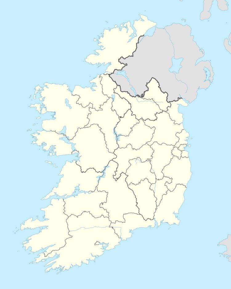
Map of Slieverue, Co. Kilkenny, Ireland
History
There are sixteen townlands situated in the parish of Slieverue such as Ballincrea, Nicholastown and Treanaree. Every year a celebration of local history and music called "Eigse Sliabh Rua-Ui Dea" takes place at Slieverue.
Geography
The village lies alongside the main N25 road, some 5 km from Waterford City and 14 km from New Ross in County Wexford, near the point where the Rivers Barrow and Suir come together.
Landmarks
A prominent local hill, known as Carriganurra, features a large concrete cross at its summit. This cross was erected by local residents in 1950 to celebrate the Holy Year.
Churches
The Church of the Assumption, a nineteenth century Roman Catholic church in Slieverue village, is the only church in the parish. There were earlier churches and these were situated as follows:
Education
There are two National Schools in the parish: Slieverue and Ringville.
People
Atateemore near Slieverue is the birthplace of John O'Donovan, an Irish scholar who translated the ancient text Annals of the Four Masters into English.