
Peak Clomantagh Hill Barony | Elevation 349 m | |
 | ||
Mountains Knocknamuck, Clomantagh Hill Similar Brandon Hill, Sugarloaf, Black Rock Mountain - County W, Table Mountain - County W, Slievenamon | ||
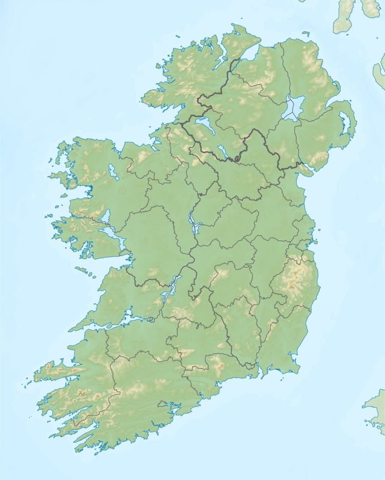
The Slieveardagh Hills are a low range of hills on the County Tipperary - Kilkenny border, mainly in the barony of Slievardagh. The highest point is Clomantagh Hill at 349 m and the highest point by relative height in the hills is Knocknamuck at 340m with prominence of 268m. The hills contain the source of the River Goul, which flows north and the Kings River which flows southwards from the hills.
Map of Slieveardagh Hills, Renaghmore, Co. Tipperary, Ireland
The Slieveardagh Hills and Booley Hills extend westwards from County Kilkenny to County Tipperary.
References
Slieveardagh Hills Wikipedia(Text) CC BY-SA