
Urban okrug Slavgorod Urban Okrug Area 53.32 km² | Administrative center of Slavgorod Urban Okrug Local time Friday 8:31 AM | |
 | ||
Administratively subordinated to town of krai significance of Slavgorod Administrative center of town of krai significance of Slavgorod Weather -9°C, Wind SE at 18 km/h, 85% Humidity Points of interest Park kultury i otdykha g, Pamyatnik E Telmanu, Pamyatnik V Leninu | ||
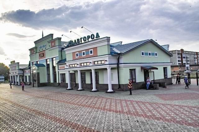
Slavgorod (Russian: Сла́вгород) is a town in Altai Krai, Russia, located between Lakes Sekachi and Bolshoye Yarovoye. Population: 32,389 (2010 Census); 34,335 (2002 Census); 34,864 (1989 Census); 48,000 (1975).
Contents
Map of Slavgorod, Altai Krai, Russia
History
It was founded in 1910 and was granted town status in 1914.
Administrative and municipal status
Within the framework of administrative divisions, Slavgorod is, together with twenty-three rural localities, incorporated as the town of krai significance of Slavgorod—an administrative unit with a status equal to that of the districts. As a municipal division, the town of krai significance of Slavgorod is incorporated as Slavgorod Urban Okrug.
Both administrative and municipal territories of Slavgorod were enlarged effective January 1, 2012, when Slavgorodsky District was abolished.
Military
During the Cold War it was the site of Slavgorod air base.