
Area 14.16 km² | Local time Friday 12:29 AM | |
 | ||
Weather 6°C, Wind NW at 2 km/h, 87% Humidity | ||
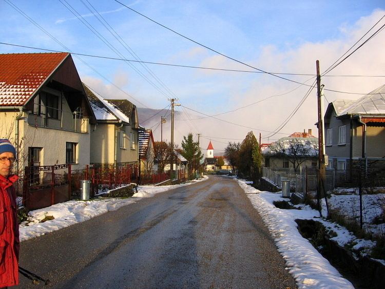
Slanská Huta (Hungarian: Szalánchuta) is a village and municipality in Košice-okolie District in the Košice Region of eastern Slovakia.
Contents
Map of 044 17 Slansk%C3%A1 Huta, Slovakia
History
In historical records the village was first mentioned in 1772.
Geography
The village lies at an altitude of 460 metres and covers an area of 14.157 km². It has a population of about 215 people.
Ethnicity
The population is entirely Slovak in ethnicity.
Culture
The village has a small public library and several stores including food facilities.
Sport
The village has a number of quality sporting facilities including a football ground, a swimming pool and a gym.
Transport
The nearest train station is at Slanec.
References
Slanská Huta Wikipedia(Text) CC BY-SA