
Country United States Time zone Pacific (PST) (UTC-8) Elevation 1,908 m Area code 775 | FIPS code 32-67600 Population 376 (2010) | |
 | ||
Area 11.4 km² (11.4 km² Land / 26 ha Water) | ||
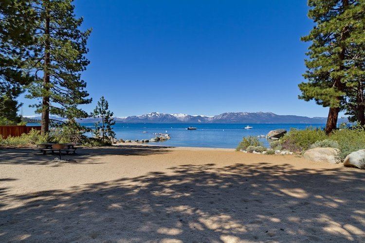
Skyland is a census-designated place (CDP) in Douglas County, Nevada, United States. The population was 376 at the 2010 census.
Contents
Map of Skyland, NV 89413, USA
Geography
Skyland is located on the east shore of Lake Tahoe in far western Nevada. U.S. Route 50 is the main road through the CDP, leading south 5 miles (8 km) to the California state line and northeast 20 miles (32 km) to Carson City. Lakeridge is immediately to the north, and Zephyr Cove borders Skyland to the south.
According to the United States Census Bureau, the Skyland CDP has a total area of 4.4 square miles (11.5 km2), of which 4.4 square miles (11.3 km2) is land and 0.12 square miles (0.3 km2), or 2.26%, is water.
References
Skyland, Nevada Wikipedia(Text) CC BY-SA