
 | ||
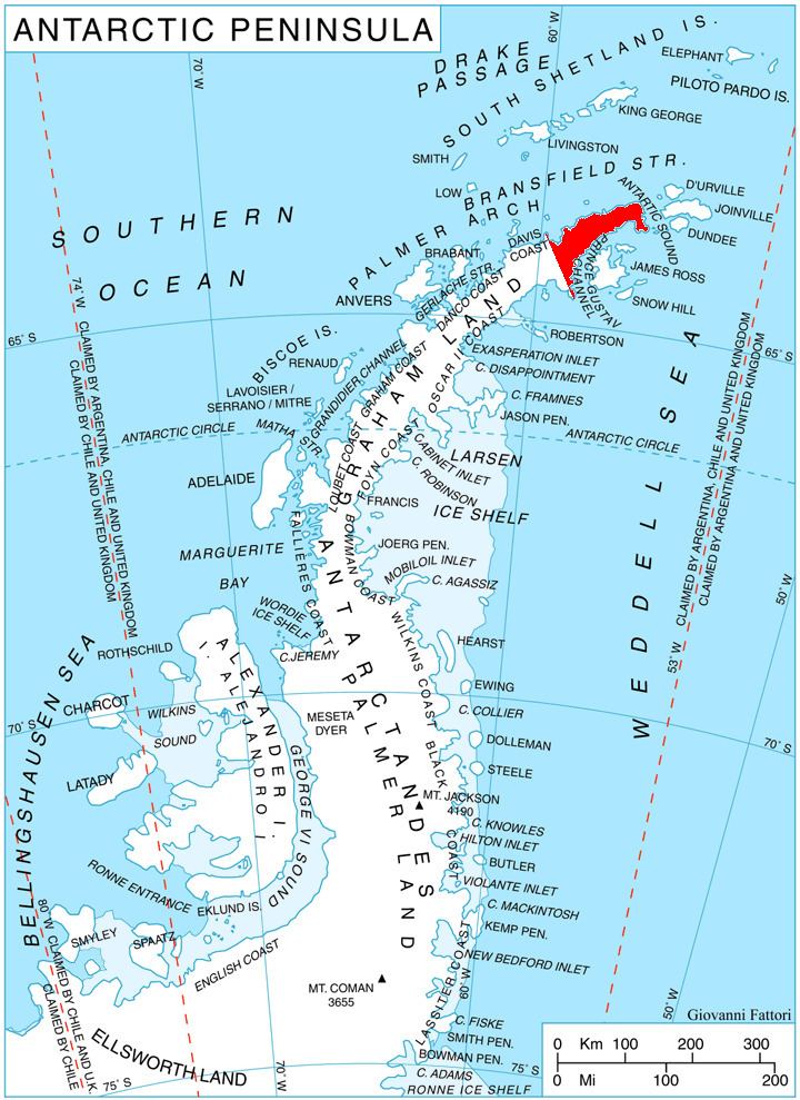
Skomlya Hill (Bulgarian: хълм Скомля, ‘Halm Skomlya’ \'h&lm 'sko-mlya) is the rocky hill rising to 354 m at the base of a promontory projecting from Trinity Peninsula in Graham Land, Antarctica, 5.5 km eastwards into Prince Gustav Channel and ending in View Point. Surmounting Duse Bay to the northeast and Eyrie Bay to the southwest.
Contents
The hill is named after the settlement of Skomlya in Northwestern Bulgaria.
Location
Skomlya Hill is located at 63°32′45″S 57°30′15″W, which is 9.98 km east of Abel Nunatak, 8.95 km southeast of Theodolite Hill and 6.79 km west of View Point. German-British mapping in 1996.
Maps
References
Skomlya Hill Wikipedia(Text) CC BY-SA