Population 927 (2011 census) LGA(s) Corangamite Shire Postal code 3361 | Postcode(s) 3361 State electorate(s) PolwarthRipon Local time Friday 3:03 AM | |
 | ||
Weather 14°C, Wind E at 18 km/h, 94% Humidity | ||
Terex jaques at eldridge quarry crushing plant in skipton victoria australia
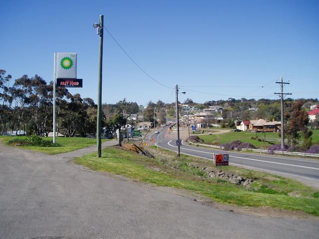
Skipton /ˈskɪptən/ is a town in the Western District of Victoria, Australia. The town is situated on the Glenelg Highway 166 kilometres west of the state capital, Melbourne and 52 kilometres south west of the regional centre, Ballarat. Part of the Shire of Corangamite LGA, Skipton is on the banks of Mount Emu Creek and at the 2011 census had a population of 927, including surrounding areas. The locality of Skipton had 460 residents at the 2001 census.
Contents
- Terex jaques at eldridge quarry crushing plant in skipton victoria australia
- Map of Skipton VIC 3361 Australia
- Notable people
- References
Map of Skipton VIC 3361, Australia
Skipton is named after Skipton, in Yorkshire, England and is known as "the home of the platypus".
Skipton was first established in 1839 as a pastoral run and a town site was surveyed in 1852. The town was settled some years later and the Post Office opened on 6 March 1858. The town held the first agricultural show in the Western District in 1859.
Fine wool is the main agricultural product of the Skipton area. A rail trail allows cyclists to ride between Skipton and Ballarat.
Skipton has a football club competing in the Central Highlands Football League.
Golfers play at the course of the Skipton Golf Club on Geelong-Portland Road.
Skipton Variety Market is held on every second Saturday of the month at the Mechanics Hall. Skipton Rose Festival is held on the first Saturday after the running of the Melbourne Cup in November each year.
