
Population 1,153 (2011) Civil parish Skelton Local time Thursday 12:33 PM | OS grid reference NY4335 Sovereign state United Kingdom Dialling code 017684 | |
 | ||
Weather 7°C, Wind E at 27 km/h, 74% Humidity | ||
Skelton is a small village and civil parish about 5 miles (8.0 km) north west of Penrith in the English county of Cumbria. It is on the former route of the B5305 road, which is now about 1 mile (1.6 km) to the north.
Contents
Map of Skelton, UK
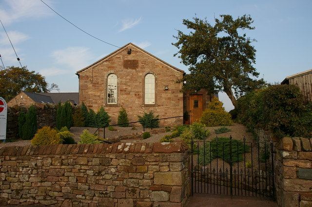
The village has a primary school, shop, pub, and Anglican and Methodist churches.
Close to the village is the Skelton transmitting station and the stately home of Hutton-in-the-Forest the family home of Lord Inglewood.
Skelton Agricultural Show is one of the largest in Cumbria and takes place on the first Saturday in July at Hutton-in-the-Forest.
The large parish of Skelton includes the villages and hamlets of Ellonby, Lamonby, Unthank, Unthank End, Skelton Wood End, Laithes, Hutton End, Hutton Row, New Rent Braithwaite and Middlesceugh.
In 1934 the parish absorbed the former civil parishes of Hutton-in-the-Forest; and Middlesceugh and Braithwaite; plus part of Dalston.
Hutton-in-the-Forest included New Rent, Hutton End and Hutton Row and was bordered on the east by Hesket-in-the-Forest. "Forest" refers to the ancient royal hunting ground of Inglewood Forest which included all of the present day Skelton.
Governance
An electoral ward in the same name exists. This ward stretches beyond the confines of Skelton Parish with a total population taken at the 2011 Census of 1,497.