
Car plates TSK | Area 395.3 km² | |
 | ||
Gminas Total 5 (incl. 1 urban)Skarżysko-KamiennaGmina BliżynGmina ŁącznaGmina Skarżysko KościelneGmina Suchedniów Points of interest White Eagle Museum, Bazylika Matki Bożej Ostrobra, Jezioro Rejowskie, Mauzoleum Martyrologii Wsi Polsk, Rezerwat przyrody Świnia G | ||
Skarżysko County (Polish: powiat skarżyski) is a unit of territorial administration and local government (powiat) in Świętokrzyskie Voivodeship, south-central Poland. It came into being on January 1, 1999, as a result of the Polish local government reforms passed in 1998. Its administrative seat and largest town is Skarżysko-Kamienna, which lies 34 kilometres (21 mi) north-east of the regional capital Kielce. The only other town in the county is Suchedniów, lying 10 km (6 mi) south-west of Skarżysko-Kamienna.
Contents
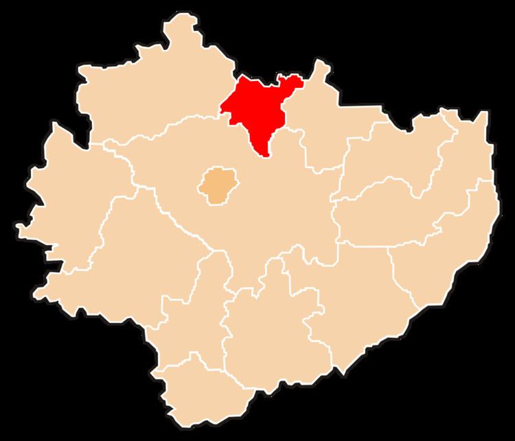
- Map of SkarC5BCysko County Poland
- Neighbouring counties
- Administrative division
- Territorial changes
- References
Map of Skar%C5%BCysko County, Poland
The county covers an area of 395.30 square kilometres (152.6 sq mi). As of 2006 its total population is 80,024, out of which the population of Skarżysko-Kamienna is 49,131, that of Suchedniów is 8,911, and the rural population is 21,982.
Neighbouring counties
Skarżysko County is bordered by Szydłowiec County to the north, Starachowice County to the east, Kielce County to the south and Końskie County to the west.
Administrative division
The county is subdivided into five gminas (one urban, one urban-rural and three rural). These are listed in the following table, in descending order of population.
Territorial changes
As of 2006, Skarżysko County has undergone three territorial changes since its creation in 1999 – several villages from neighbouring counties have been incorporated: