Termini Princess Martha Coast | ||
 | ||
Location | ||
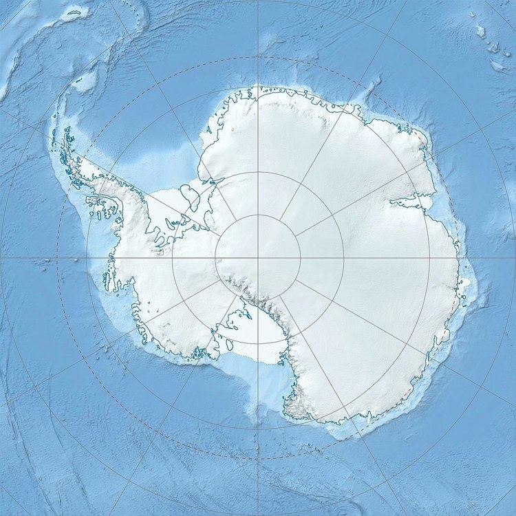
Skålebreen is a glacier flowing north between Festninga Mountain and Mount Hochlin in the Mühlig-Hofmann Mountains in Queen Maud Land. Mapped by Norwegian cartographers from surveys and air photos by the Norwegian Antarctic Expedition (1956–60) and named Skålebreen.
Map of Sk%C3%A5lebreen, Antarctica
References
Skålebreen Wikipedia(Text) CC BY-SA
