
Country Indonesia Area 276 km² Province North Sulawesi | Time zone WITA (UTC+8) Population 63,543 (2010) | |
 | ||
Law of the jungle at sitaro island siau tagulandang biaro mahoro island
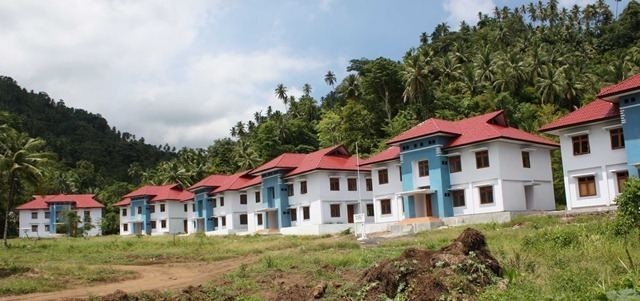
Sitaro Islands Regency (Indonesian: Kabupaten Sitaro, full name: Kabupaten Kepulauan Siau Tagulandang Biaro) is a regency located off the northern extremity of Sulawesi Island in the southern Sangihe Islands, North Sulawesi Province, Indonesia. The regency was formed under Law Number 15 Year 2007 from 2 January 2007 (Indonesian: Undang-Undang Nomor 15 Tahun 2007), by division of the Sangihe Islands Regency of which it had previously formed the southern part.
Contents
- Law of the jungle at sitaro island siau tagulandang biaro mahoro island
- Map of Kepulauan Siau Tagulandang Biaro North Sulawesi Indonesia
- Administration
- References
Map of Kepulauan Siau Tagulandang Biaro, North Sulawesi, Indonesia
The main island is Siau, while further south (nearer Sulawesi) are Tagulandang and Biaro. The new regency's area is 275,96 km² and the total population was 63,543 at the 2010 Census. Most of the population are fishers and farmers. The majority's of the population religion is Christianity and Catholicism, but there are also followers of Islam and Buddhism.
Administration
The Regency is divided into ten districts (kecamatan), tabulated below with their 2010 Census population.