Incorporated April 4, 1850 Elevation 640 m Population 8,334 (2010) | Settled September 4, 1781 Area 9 km² | |
 | ||
Sitapur (Hindi: सीतापुर) is a town of Surguja district, Chhattisgarh, India. It is surrounded by the river Mand in the east and hills in the west. The tourism spot Mainpat (which is also called Shimla of Chhattisgarh) is 30 kilometres from the town. Mainpat mountain has huge deposits of bauxite ore which are processed at Hindalco factory at Renukoot (UP). Sitapur is 52 km from Ambikapur, the district capital of Surguja.
Contents
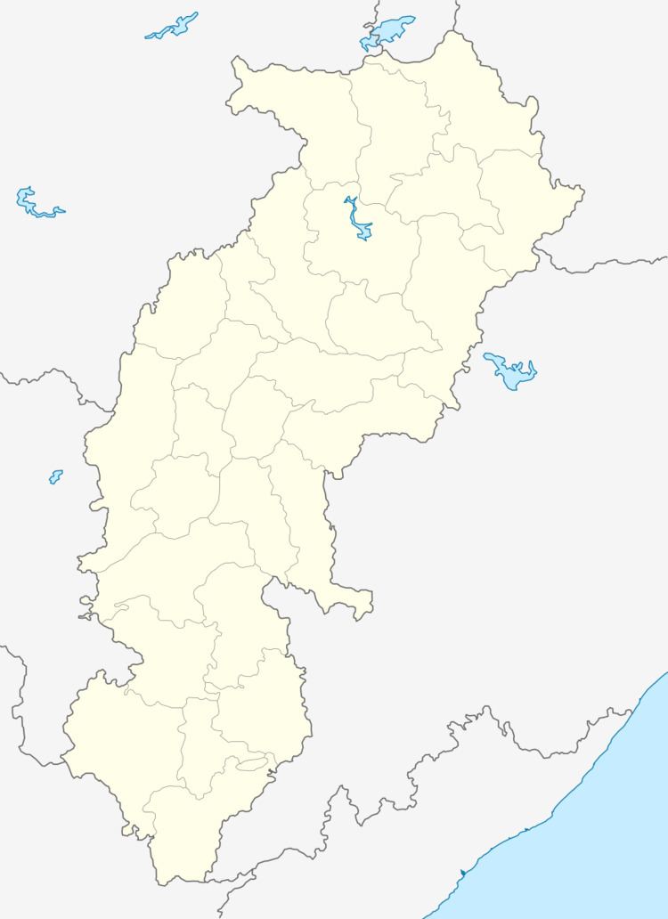
Map of Sitapur, Chhattisgarh 497111
Education
Sitapur contains a number of schools; major ones are: Gyansthali Public School,Govt. Boys Hr. Secondary School, Govt. Girls Hr. Secondary School, Mission School, Mahatma Gandhi Memorial School, Indira Gandhi Memorial School, Child Education Center, Ken Memorial School. Education level of this place is slowly improving as migrants families from surrounding states (UP and Jharkhand/Bihar) have settled here and with them brought richness and diversity in demography. Sitapur has its own Govt Postgraduate College which has established itself as a regional center of excellence in field of humanities and arts studies.
Places of religious importance
The population of the city mostly consists of Hindus and Christians. Mohammedans are also present in a small percentage. Inside the town, there are three major temples: Gayatri Temple-Main Road, Ma Mahamaya Temple-Basti and Shiva Temple-Near Shishu Mandir.
