
Elevation 77 m | Local time Thursday 4:08 AM | |
 | ||
Weather 12°C, Wind NE at 3 km/h, 87% Humidity | ||
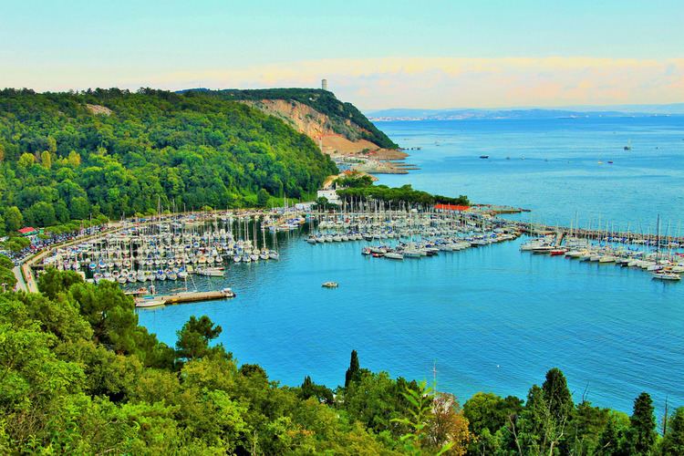
Sistiana (Slovene: Sesljan) is a village in Friuli-Venezia Giulia, in the far northeast of Italy near the Slovene border. It is a frazione of the comune of Duino-Aurisina.
Contents
Map of 34011 Sistiana, Province of Trieste, Italy
Geography
The village lies north-west of Trieste, the provincial capital. The closest airport is located 7 nm west of Sistiana. Average altitude: 70 m above sea level. Sistiana is on time zone UTC +1 (+2DT).
History
The name is derived from the Latin Sextilianum, which may represent the first Roman settlement in the region of Trieste. A Roman villa has been discovered nearby, and the local quarries were exploited in the 2nd century AD.
There were border clashes in the 16th century between the lords of Duino and the city of Trieste.
References
Sistiana Wikipedia(Text) CC BY-SA