
Vehicle registration TN-40 Area 14.2 km² Local time Thursday 6:42 AM | Time zone IST (UTC+5:30) Elevation 292 m Population 18,223 (2011) | |
 | ||
Weather 24°C, Wind SE at 2 km/h, 97% Humidity | ||
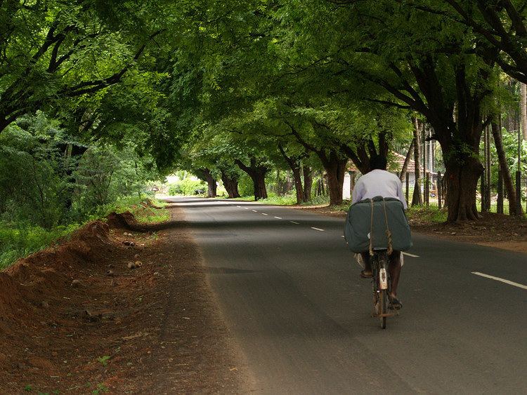
Sirumugai, சிறுமுகை, is a Panchayat town and a suburb in Coimbatore rural district in the Indian state of Tamil Nadu.
Contents
Map of Sirumugai, Tamil Nadu 641302
Geography
Sirumugai is located at 11.33°N 77.02°E / 11.33; 77.02. It has an average elevation of 292 metres (958 feet). It is situated in the northern part of Coimbatore district, on the banks of the Bhavani River.
Demographics
As of 2011 Census of India, The Sirumugai Town Panchayat has population of 18,223 of which 9,015 are males while 9,208 are females as per report released by Census India 2011.
References
Sirumugai Wikipedia(Text) CC BY-SA