
Vehicle registration UP 38 Elevation 210 m Local time Thursday 6:35 AM | Time zone IST (UTC+5:30) Website up.gov.in Population 64,345 (2011) | |
 | ||
Weather 18°C, Wind SE at 2 km/h, 72% Humidity | ||
Sirsi is a town and a Nagar Panchayat in the Sambhal district of the Indian state of Uttar Pradesh.
Contents
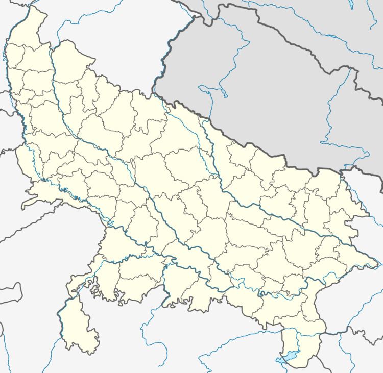
Map of Sirsi, Uttar Pradesh 244301
Geography
Sirsi, Uttar Pradesh is located at 28.64°N 78.64°E / 28.64; 78.64. It has an average elevation of 210 metres (688 feet).
Demographics
As of 2011, the Indian census, Sirsi had a population of 64,345. Males constitute 52% of the population and females 48%. Sirsi has a literacy rate of 70%, which is above the national average: male literacy is 78%, and female literacy is 64%. In Sirsi, 19% of the population is under 6 years of age.
In Sirsi, there are four Inter Colleges while just two Degree colleges.
Degree colleges:
- Sadat Degree College : It offers three years 'Bachelor's Degree in Arts' (B.A.) only.
- SBM Degree College : It offers three years 'Bachelor's Degree in Arts' (B.A.) and two years 'Basic Teaching Certificate' (B.T.C.).
References
Sirsi, Uttar Pradesh Wikipedia(Text) CC BY-SA