
Country India PIN 283151 Elevation 162 m | Time zone IST (UTC+5:30) Vehicle registration UP Local time Thursday 6:34 AM | |
 | ||
Weather 20°C, Wind N at 2 km/h, 68% Humidity Neighborhoods Arya Nagar, Vijay Nagar, Durg Singh Shankar Colony | ||
Computer world education grand opening sirsaganj
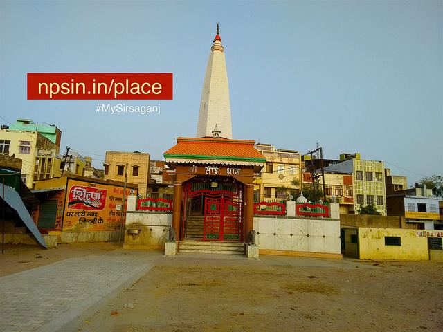
Sirsaganj is a town and a municipal board in Firozabad district in the Indian state of Uttar Pradesh. Sirsaganj is a Vidhan Sabha (Legislative Assembly) constituency of the State of Uttar Pradesh in India. (AC No. 99).
Contents
- Computer world education grand opening sirsaganj
- Map of Sirsaganj Uttar Pradesh 283151
- Geography
- People and culture
- References
Map of Sirsaganj, Uttar Pradesh 283151
Geography
Sirsaganj is located at 27°03′25″N 78°41′10″E. It has an average elevation of 162 metres (531 feet). Sirsaganj is situated at the bank of the river Sirsa.
People and culture
There are 4,404 families in Sirsaganj. Total population than is 28,212 out of which 14,239 are male and 13,286 are female. Sex ratio of Sirsaganj is 887.98.
References
Sirsaganj Wikipedia(Text) CC BY-SA