
District Allahabad Vehicle registration UP Elevation 65 m Population 11,499 (2001) | Time zone IST (UTC+5:30) Website up.gov.in Local time Thursday 6:34 AM | |
 | ||
Weather 19°C, Wind N at 0 km/h, 74% Humidity | ||
Sirsa is a town and a nagar panchayat in Allahabad district in the Indian state of Uttar Pradesh.
Contents
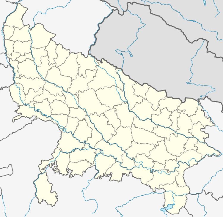
Map of Sirsa, Uttar Pradesh
United village of parwa
united village of parva is located at 25.2°N 82.1°EIndia
uttar pradesh
allahabad
meja
uruva
united village of parva
Elevation35 m
Population (2011) • Total
1699
Languages • Official
Hindi
IST ( UTC+5:30 )
geography
United village of parva (u.v.p) has an average elevation of 36 metres. It is the biggest town area in Allahabad district. The town has a huge religious importance, being on the bank of the River Ganges area. U.V.P is a village in Uruwan Tehsil in Allahabad District of Uttar Pradesh State, India. It belongs to Allahabad Division. It is located 49 km to the east of District headquarters Allahabad. 13 km from Uruwan. 253 km from State capital Lucknow Parva Uparhar Pin code is 212305 and postal head office is Sirsa. Bhabhaura Uparhar (2 km), Tela Khas (3.2 km), Madara Mukundpur Uparhar (2 km), Kaneda Uparhar (3 km), Javaniya (4.2 km) are the nearby villages to Parva Uparhar. united village of parva is surrounded by Handia Tehsil to the north, Uruwan Tehsil to the west, Saidabad Tehsil to the north, Meja Tehsil to the south. Phulpur, Mirzapur, Allahabad, Jaunpur are the nearby cities to u.V.p
Population
Of 2011 India census, [2] united village of parva had a population of 1699. Males constitute 53% of the population and females 47%. u.v.p has an average literacy rate of 76%, higher than the national average of 59.5%: male literacy is 77%, and female literacy is 54%. In u.v.p, 14% of the population is under 6 years of age.
Name
United village of parva is old name of parva uparhar.