
Area 445 km² | Time zone GMT (UTC+0) Local time Thursday 12:08 AM | |
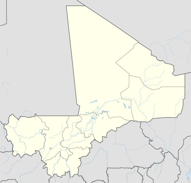 | ||
Siribala is a town and rural commune in the Cercle of Niona in the Ségou Region of southern-central Mali. The commune has an area of approximately 445 square kilometers and includes the town and 18 villages. In the 2009 census it had a population of 37,065. The town lies 25 km south of Niono on the east side of the Fala de Molodo channel that forms part of the Office du Niger irrigation scheme. The present town, actually Siribala Coura (New Siribala), was established in the 1970s to accommodate agricultural workers employed on the sugar-cane plantation and the associated mill. The earlier settlement, Siribala Coro (Old Siribala), is 5 km away from the present town.
Contents
Map of Siribala, Mali
F te du secteur de siribala st michel dim 30 sept 12
References
Siribala Wikipedia(Text) CC BY-SA