
Elevation -10,732 m | ||
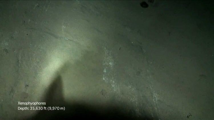 | ||
The Sirena Deep was discovered in 1997 by a team of scientists from Hawaiʻi. Its depth (10,732 meters) is thought to be second or third only to the Challenger Deep and possibly Horizon Deep, currently the deepest known places in the ocean. It lies along the Mariana Trench, 200 kilometers to the east of the Challenger Deep and 145 km south of Guam.
Contents
Map of HMRG Deep
Formation
The Sirena Deep was most probably formed, not through transform fault motion as previously thought, but through a north-south convergence of the Caroline plate and the Pacific plate, in which the Caroline plate is subducting. A group of scientists have hypothesized that the great depth of the Mariana Trench, the Challenger Deep, and the Sirena Deep is due to a tear in the subducting Caroline plate, causing deformation of the Pacific plate above. This tear would be located to the south of Guam, the same location of the deepest portion of the Mariana Trench. The tear would lead to unusual regional tectonics, another possible reason for the extreme depth. Scientists were alerted to the presence of the tear by the depth of strike-slip earthquakes, which were occurring too deep for them to be in the overriding plate.
The Sirena Deep lies at the intersection of the East Santa Rosa Bank Fault and a trench axis south of Guam.
Discovery
In 1997, the Hawaiʻi Mapping Research Group (HMRG) conducted a detailed sonar survey of the seafloor around Guam, discovering what is believed to be the second or third deepest location in the world's oceans; its existence was confirmed in 2001 and it was temporarily named HMRG Deep. In the same research mission, scientists found previously undiscovered faults, landslides, and mud volcanoes.
The data that confirmed the discovery were collected using the HAWAII MR1 mapping system. This mapping system has the ability to record both bathymetry and sidescan data at the same time. The two vessels that this system was used on were RIV Moana Wave in 1997 and RIV Melville in 2001.
Renaming
After a competition was held by Dr. Patricia Fryer, her doctoral student Sam Hulme, and Linda Tatreau to rename the HMRG Deep, the new name of Sirena Deep was chosen. Students from Guam and the Northern Mariana Islands ages 18 and younger competed, with the winning name being suggested by Jermaine Sanders (aged 16) and John Meno (aged 14). The new name references to the Philippine legends of the sirenas, which are a mix of mermaids and sirens. The new name will now appear on geologic and bathymetric maps.