Primary inflows Max. length 27 kilometres (17 mi) Surface elevation 52 m Mean depth 94 m | Primary outflows Sira Max. width 1 kilometre (0.62 mi) Area 19.11 km² Shore length 59.91 km Outflow location Sira, Lundevatn | |
 | ||
Reference Norwegian Water Resources and Energy Directorate | ||
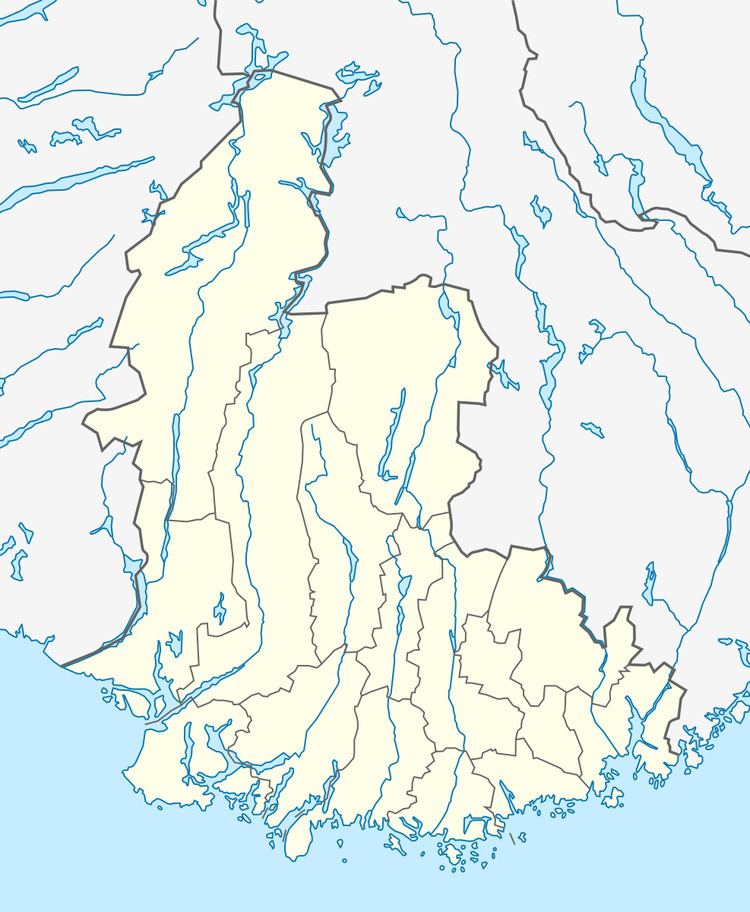
Sirdalsvatnet is a lake in the municipalities of Sirdal and Flekkefjord in Vest-Agder county, Norway. The 18.8-square-kilometre (7.3 sq mi) lake is about 27 kilometres (17 mi) long running from the village of Tonstad in the north to the village of Sira in the south. The lake is about 1 kilometre (0.62 mi) wide at its widest point.
Map of Sirdalsvatnet, Norway
References
Sirdalsvatnet Wikipedia(Text) CC BY-SA
