
Country India District Shimoga Elevation 595 m Local time Thursday 4:55 AM | State Karnataka Time zone IST (UTC+5:30) Population 14,501 (2001) | |
 | ||
Weather 23°C, Wind S at 2 km/h, 77% Humidity | ||
Shiralakoppa is a panchayat town in Shikaripur Taluk, Shimoga district in the Indian state of Karnataka.
Contents
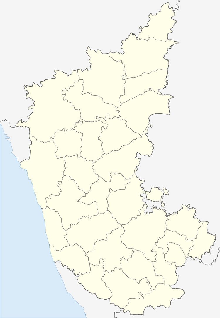
Map of Siralkoppa, Karnataka 577428
Geography
Shiralakoppa is located at 14.38°N 75.25°E / 14.38; 75.25. It has an average elevation of 595 metres (1952 feet). Shiralakoppa is 70 km away from Shimoga and 20 km from Shikaripura.
Demographics
As of 2001 India census, Shiralakoppa had a population of 14,501. Males constitute 50% of the population and females 50%. Shiralakoppa has an average literacy rate of 68%, higher than the national average of 59.5%: male literacy is 70%, and female literacy is 66%. In Shiralakoppa, 15% of the population is under 6 years of age.
Industries in Shiralkoppa
Shiralkoppa is richly surrounded by forest which has Sandalwood trees, Teak, Rosewood, etc. So here wooden furniture works are very famous. Main agricultural crop grown here is Paddy which indused Rice mills in this area. Also Shiralkoppa is having rich crop of mangoes around. Which include some rare species of mangoes having rich aroma and hence they named as Jeerigi Mavu (Kannada word which means Mangoes having Jeera aroma). Here there is a Pickles industries which is famous in the state by name MN Pickle Industries. The famous Belligavi temple is located just 2 km away from shiralakoppa. Belligavi small historical place, It is known for splendid archeological stone sculptured temples with thousands of years of history. Birthplace of Akka Mahadevi (ಅಕ್ಕ ಮಹಾದೇವಿ)Udathadi is located just 4 km from siralakoppa.