
Postal code 6700 | Time zone BST (UTC+6) Area 325.8 km² | |
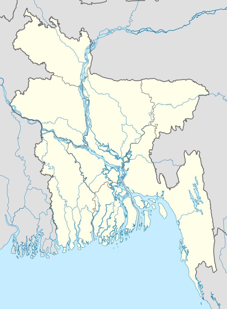 | ||
Website Official Map of Sirajganj Sadar | ||
Sirajganj Sadar (Bengali: সিরাজগঞ্জ সদর) is an Upazila of Sirajganj District in the Division of Rajshahi, Bangladesh.
Contents
Geography
Sirajganj Sadar is located at 24.4583°N 89.7000°E / 24.4583; 89.7000. It has 71,511 households and a total area of 325.77 km².
Demographics
The 1991 Bangladesh census reports Sirajganj Sadar's population as 389,160 51.54% males and 48.46% females and 195,911 adults (18 years and over). 29.8% of people aged 7 and older were recorded as literate, slightky below the national average of 32.4%.
Administration
Sirajganj Sadar has 18 Unions/Wards, 283 Mauzas/Mahallas, and 283 villages. Unions of Sirajganj Sadar: 1. Ratankandi Union 2. Bagbati Union 3. Songacha Union 4. Bohuli Union 5. Chouhali Union 6. Kamarkhando Union 7. 8. 9. 10. 11. 12. 13. 14. 15. 16. 17. 18.