- land 2.1 km (0.8 sq mi) Area 220 ha | - summer (DST) CDT (UTC-5) Area code 985 | |
 | ||
- water 0.1 km (0.0 sq mi), 4.55% Parish | ||
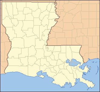
Siracusaville is a census-designated place (CDP) in St. Mary Parish, Louisiana, United States. The population was 422 at the 2010 census. It is part of the Morgan City Micropolitan Statistical Area.
Contents
Map of Siracusaville, 8, LA 70380, USA
Geography
Siracusaville is located at 29°41′13″N 91°8′53″W (29.68715, -91.14186), adjacent to the eastern border of Morgan City. Louisiana State Route 182 is an east-west road that passes through the southern part of the community, along the edge of Bayou Boeuf, part of the Intracoastal Waterway. U.S. Route 90, a four-lane expressway, forms the northeastern border of the CDP but provides no direct access to it; the closest exits are Exit 176 in Morgan City to the west and Exit 181 in Amelia to the east.
According to the United States Census Bureau, the CDP has a total area of 0.85 square miles (2.2 km2), of which 0.81 square miles (2.1 km2) is land and 0.04 square miles (0.1 km2), or 6.37%, is water.
