
Grid position 114/154 L Governorate Nabatieh Governorate Time zone EET (UTC+2) | Country Lebanon District Nabatieh District | |
 | ||
Area code(s) +961 - (07 - South Lebanon) | ||
Sir el Gharbiyeh (سير الغربية) is a village just north of the Litani River, in the Nabatieh District in southern Lebanon.
Contents
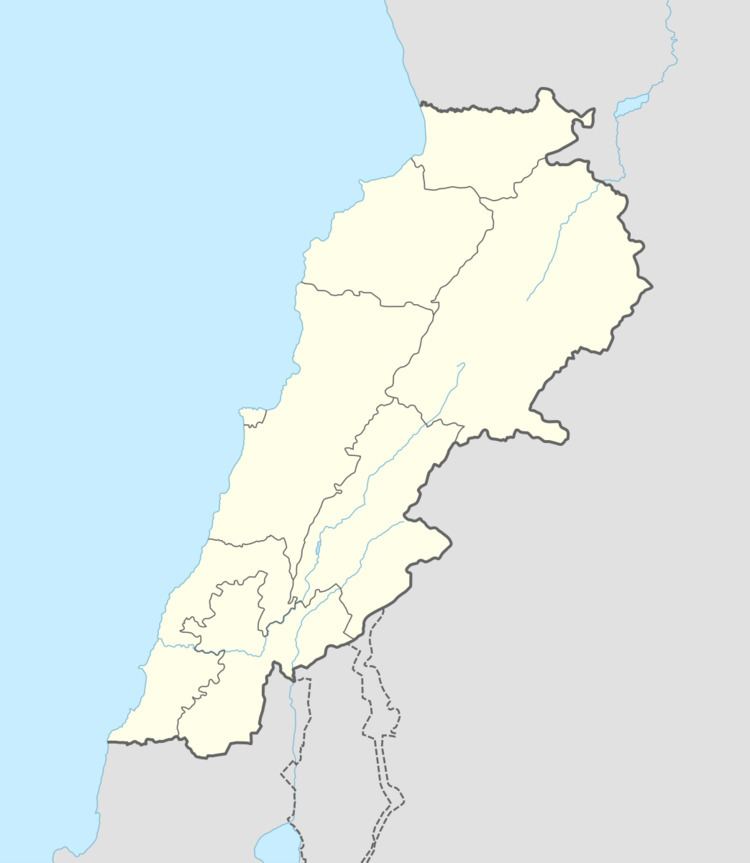
Map of Sir El Gharbiyeh, Lebanon
History
In the 1596 tax records, it was named as a village, Sir, in the Ottoman nahiya (subdistrict) of Sagif under the liwa' (district) of Safad, with a population of 10 households, all Muslim. The villagers paid a fixed tax-rate of 25% on agricultural products, such as wheat, barley, olive trees, goats and beehives, in addition to "occasional revenues"; a total of 2,000 akçe.
References
Sir el Gharbiyeh Wikipedia(Text) CC BY-SA