
Country United States ZIP codes 41219 Elevation 255 m | Time zone Eastern (EST) (UTC-5) GNIS feature ID 509064 Local time Wednesday 4:49 PM | |
 | ||
Weather 8°C, Wind NE at 14 km/h, 29% Humidity | ||
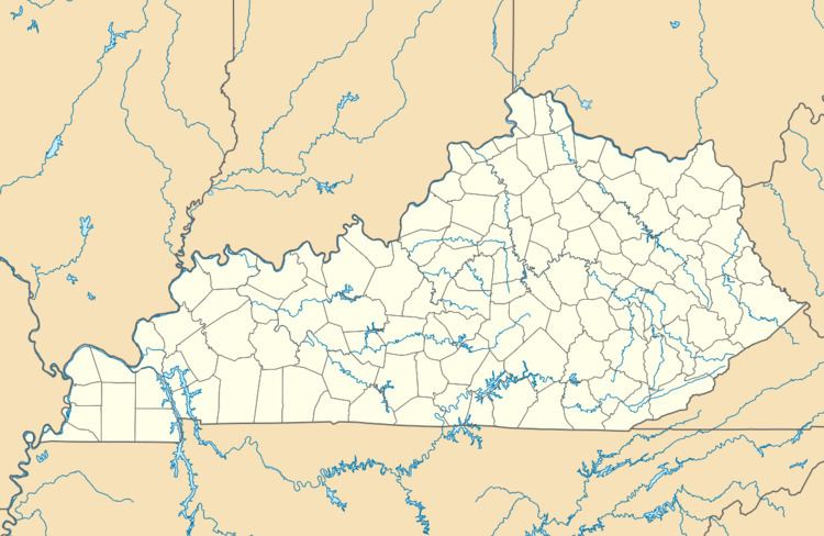
Sip is an unincorporated community in Johnson County, Kentucky, United States. It is located at an elevation of 837 feet (255 m). Its ZIP code is 41219.
Map of Sip, Kentucky 41257, USA
References
Sip, Kentucky Wikipedia(Text) CC BY-SA