Country Switzerland Elevation 500 m Population 29,304 (Dec 31, 2008) Area 29.76 km2 | District Sion Mayor President (list)Marcel Maurer FDP/PRD/PLR(as of February 2014) | |
Similar Sierre , Chur , Martigny | ||
Sion (German: ; Italian: ; Latin Sedunum) is the capital of the Swiss Canton of Valais. As of December 2013 it had a population of 32,797. On 17 January 1968 the former municipality of Bramois merged into the municipality of Sion. On 1 January 2013 the former municipality of Salins merged into the municipality of Sion.
Contents
- Map of Sion Switzerland
- Switzerland saasfee sion lake geneva zurich travel off the beaten path
- History
- Geography
- Economy
- References
Map of Sion, Switzerland
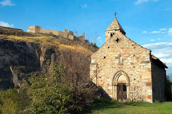
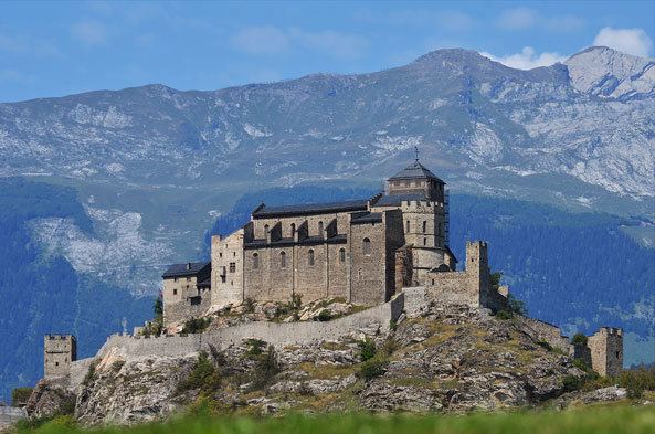
Landmarks include the Basilique de Valere and Chateau de Tourbillon. Sion has an airfield for civilian and military use which serves as a base for countless life-saving air rescue missions.
Switzerland saasfee sion lake geneva zurich travel off the beaten path
History

Sion is one of the most important pre-historic sites in Europe. The alluvial fan of Sionne, the rocky slopes above the river and, to a lesser extent, Valeria and Tourbillon hills have been settled nearly continuously since antiquity. The oldest trace of human settlement comes from 6200 BC during the late Mesolithic. Around 5800 BC early Neolithic farmers from the Mediterranean settled in Sion. The settlements remained small until about 4500 BC, during the middle Neolithic, when the number of settlements increased sharply. To support the population increase, farming and grazing spread throughout the valley. They also began burying their dead in Chablandes-type stone burial cists with engraved anthropomorphic stelae. The individual graves changed at the beginning of the third Millennium BC in large, dry stone wall communal tombs (such as the Dolmen of Le Petit-Chasseur). During the Beaker culture period in the second half of the third Millennium, dolmens were built once again, but they were smaller and had no podium. Stelae continued to be carved, though these were rich with geometric patterns and sometimes built out of old dolmen. At the beginning of the Early Bronze Age (around 2300 BC) the last stelae were erected.

The early settlements have been well documented. There are huts from the middle Neolithic period found near Le Petit Chasseur and under Ritz Avenue. Late Neolithic sites have been found at Bramois and the early Early Bronze Age site is at Le Petit Chasseur. The Middle Bronze Age, however, is poorly documented. From the subsequent epochs, the great Necropolis of Don Bosco (the "aristocrat" tumulus of the Late Bronze Age and Iron Age) and the necropolis of Sous-le-Scex from the La Tene culture.
Geography

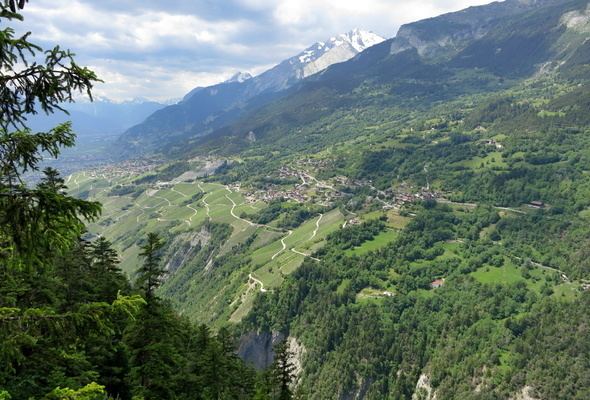
Sion has an area, as of 2009, of 25.6 square kilometers (9.9 sq mi). Of this area, 10.21 km2 (3.94 sq mi) or 39.9% is used for agricultural purposes, while 2.47 km2 (0.95 sq mi) or 9.6% is forested. Of the rest of the land, 10.79 km2 (4.17 sq mi) or 42.1% is settled (buildings or roads), 1.46 km2 (0.56 sq mi) or 5.7% is either rivers or lakes and 0.65 km2 (0.25 sq mi) or 2.5% is unproductive land.
Economy
The tertiary sector is the main economic sector in Sion, mainly due to the presence of the cantons administration, the Valaisan Parliament and the cantons courthouse. Tourism is also an important sector due to its historic chateaux and museums.
