
Area 4.86 km² Population 1,633 (2003) | Local time Wednesday 8:34 PM | |
 | ||
Weather 9°C, Wind E at 11 km/h, 60% Humidity | ||
Sint-Ulriks-Kapelle is a village and deelgemeente of Dilbeek.
Contents
- Map of Sint Ulriks Kapelle 1700 Dilbeek Belgium
- History
- Geography
- Attractions
- Education
- Bagaya Kapelle
- References
Map of Sint-Ulriks-Kapelle, 1700 Dilbeek, Belgium
History
Historically, Sint-Ulriks-Kapelle was a part of the Land of Asse.
Together with Dilbeek, Groot-Bijgaarden, Itterbeek, Schepdaal and Sint-Martens-Bodegem, it has formed the municipality of Dilbeek since 1 January 1977
Geography
Sint-Ulriks-Kapelle has 1,633 inhabitants and consists of 486 hectares (1,200 acres). The height above sea level varies between 20–50 metres (66–164 ft).
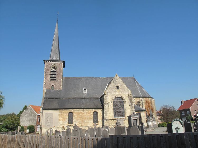
Attractions
Education
Bagaya-Kapelle
Since 1989 Sint-Ulriks-Kapelle has a fraternation with Bagaya, a village in the Casamance, in the south of Senegal. The goal is to bring the two communities closer together and to support several local development projects.
References
Sint-Ulriks-Kapelle Wikipedia(Text) CC BY-SA