
Time zone CET (UTC+1) Area 99.81 km² | Elevation 18 m (59 ft) Website www.sintanthonis.nl Local time Wednesday 8:16 PM Area code 0485 | |
 | ||
Postcode 5445–5446, 5449, 5840–5846 Weather 8°C, Wind SE at 6 km/h, 67% Humidity | ||
Sint Anthonis ( pronunciation ) is a municipality and a town in the southern Netherlands in the Province of North Brabant. The locals refer to the town as Sint Tunnis. An inhabitant is called a "Sintunnisenaar". The municipality had a population of 11,677 in 2014.
Contents
Map of Sint Anthonis, Netherlands
History
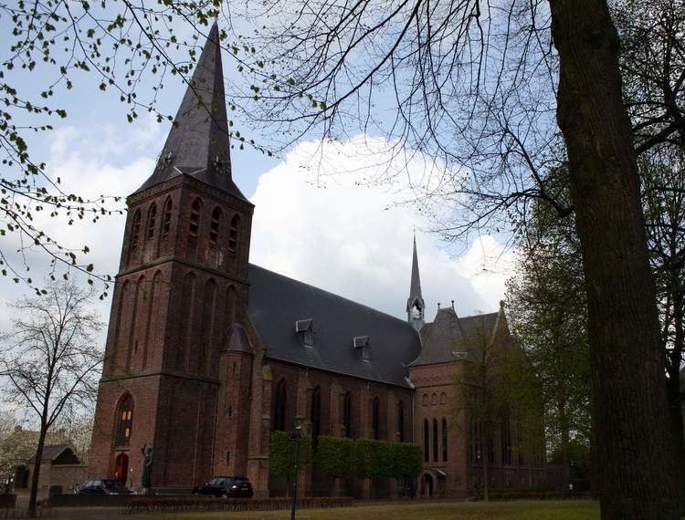
The town was mentioned in a last will as early as 1312. The town was called Oelbroec at the time. As the church of St. Anthony The Abbot was completed in 1477, people started referring to the town as the "Parish of St. Anthony in Oelbroec", and by 1570 the name Oelbroec had disappeared. Church Book registration started in 1640 and are to be found on the BHIC web site.
Population centres
Dutch Topographic map of the municipality of Sint Anthonis, June 2015
References
Sint Anthonis Wikipedia(Text) CC BY-SA