
 | ||
Siniger Nunatak (Bulgarian: нунатак Синигер, ‘Nunatak Siniger’ \'nu-na-tak si-'ni-ger) is the rocky hill rising to over 500 m in the upper course of Russell East Glacier on Trinity Peninsula in Graham Land, Antarctica.
Contents
The nunatak is named after the settlement of Siniger in Southern Bulgaria.
Location
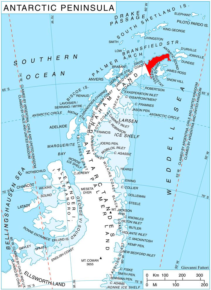
Siniger Nunatak is located at 63°43′23″S 58°25′12″W, which is 2.97 km northeast of Morava Peak in Trakiya Heights, 4.65 km east of Mount Canicula, 3.85 km south of Gigen Peak in Erul Heights, and 6.54 km west-southwest of Panhard Nunatak. German-British mapping in 1996.
Maps
References
Siniger Nunatak Wikipedia(Text) CC BY-SA