
Vehicle registration SK Local time Wednesday 8:16 PM | Time zone IST (UTC+5:30) Elevation 1,560 m | |
 | ||
Weather 15°C, Wind SE at 2 km/h, 82% Humidity | ||
Singhik sikkim may 2013
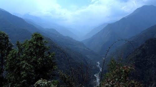
Singhik is a town in Mangan subdivision, North Sikkim district of the Indian state of Sikkim. It is situated at a distance of four kilometres from Mangan, the district headquarters. The town has clear views of Kanchenjunga and Siniolchu.
Contents
Map of Singhik, Sikkim 737116
Singhik
Location
Singhik is situated 70 km approx from the capital city Gangtok, linked by a national highway passing the headquarters of North Sikkim District, Mangan which is 4 km from the village.
People
The people of Singhik represent three ethnic communities: the Lepcha, Nepali, and Bhutia. Lepcha comprise nearly 80% of the population.
Geography
Singhik is located at 27.52°N 88.57°E / 27.52; 88.57. It has an average elevation of 1,560 metres (5,118 feet).
References
Singhik Wikipedia(Text) CC BY-SA