
Country Thailand Time zone THA (UTC+7) Geocode 9015 Province Songkhla Province | Seat Sathing Mo Postal code 90330 Area 228 km² | |
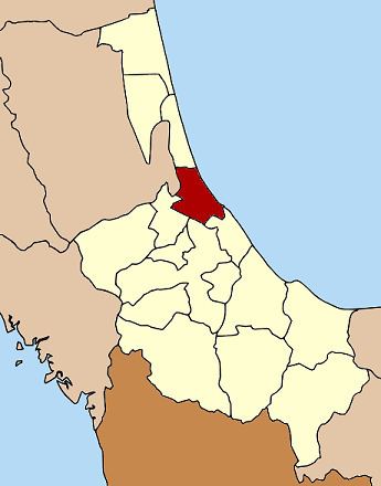 | ||
Singhanakhon (Thai: สิงหนคร) is a district (Amphoe) in the northern part of Songkhla Province, southern Thailand.
Contents
Map of Singhanakhon District, Songkhla, Thailand
Geography
Neighboring districts are (from the south clockwise) Mueang Songkhla, Hat Yai, Khuan Niang of Songkhla Province, Pak Phayun of Phatthalung Province and Sathing Phra of Songkhla Province again. To the east is the Gulf of Thailand.
The district is located between Thale Luang and Songkhla Lake.
History
The minor district (King Amphoe) was created on February 15, 1988, when 11 tambon were split off from Mueang Songkhla district. It was upgraded to a full district on July 19, 1991.
Administration
The district is subdivided into 11 subdistricts (tambon), which are further subdivided into 77 villages (muban). Singhanakhon is a township (thesaban tambon) which covers parts of tambon Ching Kho and Thamnop and the whole tambon Hua Khao and Sathing Mo. There are further 9 Tambon administrative organizations (TAO).