
Time zone IST (UTC+5:30) Elevation 306 m Population 2,171 (2001) ISO 3166 code ISO 3166-2:IN | PIN 306702 Area 200 ha Area code 02934 | |
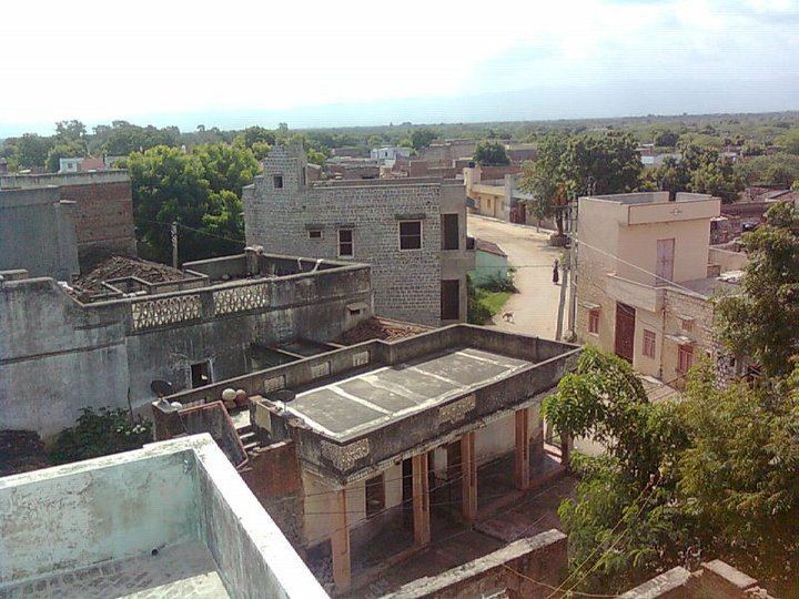 | ||
My village sindarli
Sindarli is a village in the Pali district of Rajasthan state.In Past it was Thikana of Mertiya Rathores in Marwar State. It is about 10 kilometres (6.2 mi) from the town of Sadri, 16 kilometres (9.9 mi) from Nadol, 23 kilometres (14 mi) from the tehsil office in Desuri and 70 kilometres (43 mi) from the district capital. Sindarli is also known as Sinderli or, in the local language, Hindarli.
Contents
- My village sindarli
- Map of Sindarli Rajasthan 306702
- Sindarli bhajan chagan singh
- Demographics
- Politics
- Famous People
- History
- References
Map of Sindarli, Rajasthan 306702
Sindarli bhajan chagan singh
Demographics
Sindarli has a population of about 2171 people living in about 424 households.
Politics
People from Sindarli do good role in politics. Sajjan singh sindarli was MLA in 1972 from Sumerpur constituency. and Jila Pramukh from Pali and Nathu Singh Mertiya was ex pradhan from Desuri pancyat. In present 2015 Pinku Kanwar Mertiya is sarpanch of sindarli and Manohar Singh Mertiya is Upp sarpanch of sindarli gram panchyat.
Famous People
History
Sindarli is Thikana of Mertiya Rathores.Thikana was granted to Thakur Himmat Singh ji, 4th son of Rao Gopinath ji of Ghanerao in 1704 with three villages and Revenue Rs. 20,000.Chatri of thakur Bishen singh situated on Sindarli talab.