Local time Wednesday 8:27 AM | ||
 | ||
Weather 22°C, Wind NE at 21 km/h, 78% Humidity Municipality Ribeira Grande, Cape Verde | ||
Santo antao cape verde place sinagoga
Sinagoga is a settlement in the northeastern part of the island of Santo Antão, Cape Verde. It is situated on the coast, 4 kilometers east of Ribeira Grande and 18 km north of the island capital Porto Novo. Its name, meaning "synagogue" in Portuguese, refers to an 18th-century Jewish settlement.
Contents
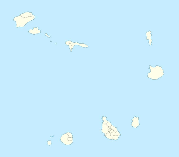
Map of Sinagoga, Cape Verde
Sinagoga is connected with the road linking Ribeira Grande and Pombas and since 2009 Porto Novo via Pombas. Its elevation is between 20 and 40 meters.
Its football (soccer) club is Clube Desportivo Sinagoga, it is one of two recent clubs that competed in the Cape Verdean Football Championships in 2016.
Geology
It also has a rock formation known as the Sinagoga Volcanic Rock Group which was formed between 700,000 and 300,000 years ago consisting of nephelite and basanite rocks.
Climate
Yearly or annual rainfall is 291 millimeters, temperatures are the same in the low lying portions of the island ranges from 20 to 26 °C (68–79 °F) . The heaviest rainfall is in September measuring 128 mm, the wettest on the island, the driest month have no precipitation between April and July.
