
 | ||
Similar West MacDonnell National, Larapinta Trail, Ochre Pits, Ormiston Gorge, Serpentine Gorge | ||
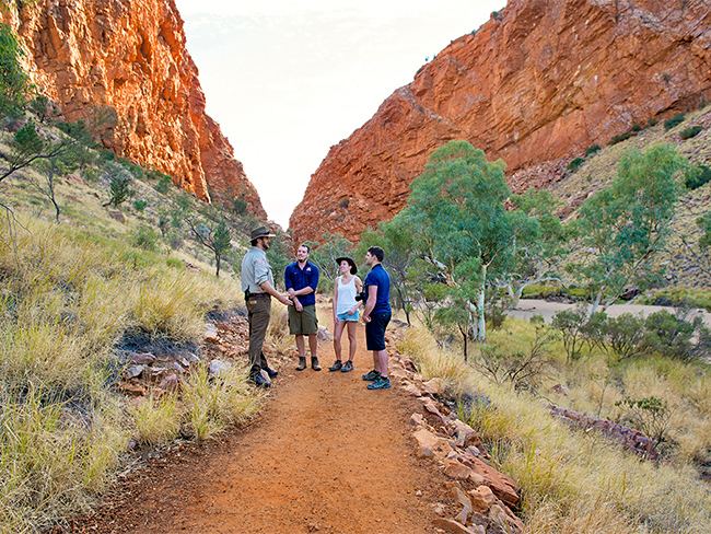
Simpsons Gap (Arrernte: Rungutjirpa) is one of the gaps in the West MacDonnell Ranges in Australia's Northern Territory. It is located 18 kilometres west from Alice Springs, on the Larapinta Trail.
Contents
Map of Simpsons Gap, Burt Plain NT 0872, Australia
The gap is home to various plants and wildlife, including the black-footed rock-wallaby. It is the site of a permanent waterhole.
History
The area is an important spiritual place for the Arrernte people, who have inhabited the Arrernte area since before European discovery. Simpsons Gap is known to the Arrernte as "Rungutjirpa". It was later visited by surveyor Gilbert Rotherdale McMinn in 1871 to provide a better route for the Overland Telegraph Line.
Tourism
Section 1 of the Larapinta Trail begins at Alice Springs Telegraph Station and ends here.
References
Simpsons Gap Wikipedia(Text) CC BY-SA