Postal code 33400 Elevation 10 m Area code 0324 | Time zone EET (UTC+2) Licence plate 33 Population 85 (2012) | |
 | ||
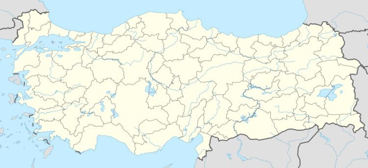
Simithacılı is a small village in Tarsus district of Mersin Province, Turkey. At 36°53′N 35°07′E it is situated in the Çukurova (Cilicia of the antiquity) plains. Turkish state highway is to the north of the village and Çukurova Airport an airport under construction is to the west of the village. The distance to Tarsus is 25 kilometres (16 mi) and to Mersin is 58 kilometres (36 mi). The population of the village was only 85 as of 2012. The major crop of the village is cotton.
Map of Simithac%C4%B1l%C4%B1, Karayusuflu D%C3%B6rta%C4%9Fa%C3%A7 Mahallesi, 33400 Tarsus%2FMersin Province, Turkey
References
Simithacılı Wikipedia(Text) CC BY-SA
