
Intercommunality Vertes vallées Area 5.06 km² | Canton Beaumetz-lès-Loges Population (2006) 557 Local time Wednesday 3:56 AM | |
 | ||
Weather 3°C, Wind S at 14 km/h, 82% Humidity | ||
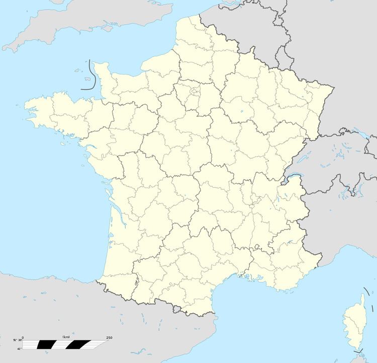
Simencourt is a commune in the Pas-de-Calais department in the Hauts-de-France region of France.
Contents
Map of 62123 Simencourt, France
Geography
Simencourt lies 7 miles (11.3 km) southwest of Arras, at the junction of the D7 and D67 roads.
Places of interest
References
Simencourt Wikipedia(Text) CC BY-SA