
Country India District Chatra Time zone IST (UTC+5:30) Elevation 537 m Population 107,871 (2011) | State Jharkhand Block Simaria PIN 825103 (Simaria) Area 512.5 km² Area code 06559 | |
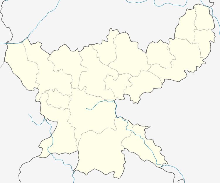 | ||
Simaria (Hindi: सिमरिआ ) is a community development block that forms an administrative division in Simaria subdivision of Chatra district, Jharkhand state, India.
Contents
- Map of Simaria Khurd Jharkhand 825103
- Maoist activities
- Location
- Area
- Gram panchayats
- Population
- Literacy
- Languages
- Transport
- References
Map of Simaria Khurd, Jharkhand 825103
Famous personality
Rajan Singh :- A student of Simaria currently in top institute of state . ( BIT Mesra)
Overview.
Chatra district forms a part of the Upper Hazaribagh Plateau, Lower Hazaribagh Plateau and northern scarp. Located at an elevation of about 450 metres (1,476 ft), the general slope of the district is from north to south. Red laterite acidic soil predominates in an area that is primarily dependent upon rain-fed agriculture. Around 60% of the district is covered with forests. The district has a population density of 275 persons per sq km. Around two-thirds of the families in the district live below poverty line. In the extreme south of the district some portions of Tandwa CD Block are part of North Karanpura Coalfield.
Maoist activities
Jharkhand is one of the states affected by Maoist activities. As of 2012, Chatra was one of the 14 highly affected districts in the state. 5 persons were killed in Chatra district in 2012, but Maoist activities, such as arms training camps and organisation of ‘Jan Adalats’ (kangaroo courts) were on the decline. As of 2016, Chatra was identified as one of the 13 focus areas by the state police to check Maoist activities.
Location
Simaria Kalan is located at 24°03′43″N 84°56′10″E. It has an average elevation of 537 metres (1,762 ft).
Simaria CD Block is bounded by Chatra and Pathalgada CD Blocks in the north, Katkamsandi and Barkagaon CD Blocks, in Hazaribagh district, in the east, Keredari CD Block in Hazaribagh district, Tandwa CD Block, and Bariyatu CD Block in Latehar district, in the south and Lawalong CD Block in the west.
Simaria is located 20 km from Chatra, the district headquarters.
Area
Simaria CD Block has an area of 512.48 km2.
Gram panchayats
There are 17 panchayats and 100 villages in Simaria CD Block.
Gram panchayats of Simaria CD Block/ panchayat samiti are: Chope, Pundra, Pagar, Sabano, Bagra, Srendag, Kasari, Jabra, Jirwa Khurd, Banasadi, Edla, Piri, Dadi, Ichak, Hurnali, Jangi and Banhe.
Population
As per the 2011 Census of India Simaria CD Block had a total population of 107,871, all of which were rural. There were 54,855 (51%) males and 53,016 (49%) females. Population below 6 years was 19,129. Scheduled Castes numbered 32,496 (30.12%) and Scheduled Tribes numbered 8,761 (8.12%).
Simaria Khurd had a population of 1,055 and Simaria Kalan had a population of 2,412 in 2011.
Literacy
As per the 2011 census the total number of literates in Simaria CD Block was 56,262 (63.40% of the population over 6 years) out of which males numbered 32,846 (72.63% of the male population over 6 years) and females numbered 23,416 (44.18% of the female population over 6 years). The gender disparity (the difference between female and male literacy rates) was 28.45%.
As per the 2011 census, literacy in Chatra district was 60.18% Literacy in Jharkhand (for population over 7 years) was 66.41% in 2011. Literacy in India in 2011 was 74.04%.
Languages
Magahi is the local language in Chatra district. Nagpuri, Khortha, Hindi and Urdu are also spoken in the region.
Transport
NH 22 (old numbering NH 99) connects Sonbarsha (India-Nepal border) with Muzaffarpur, Patna, Gaya, Dobhi, Hunterganj and Chatra and terminates at its junction with NH 39 in Chandwa CD Block in Latehar district. NH 22 crosses NH 19 (old numbering NH 2) at Dobhi in Gaya district of Bihar.