
Country United States Time zone Central (CST) (UTC-6) Local time Tuesday 4:20 PM | Elevation 1,060 ft (320 m) Area code(s) 417 | |
 | ||
Weather 14°C, Wind NE at 19 km/h, 75% Humidity | ||
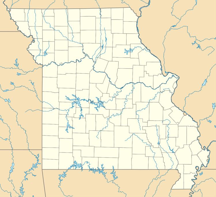
Siloam Springs is an unincorporated community in western Howell County, Missouri, United States. It is about two miles south of Route 14 on Missouri Route T, just east of the southeastern corner of Douglas County and fifteen miles northwest of West Plains. Waters from the associated spring flow west and enter the Norfork River in northeast Ozark County. The site is at an elevation of 1,060 ft (320 m).
Map of Siloam Springs, MO 65775, USA
A post office called Siloam Springs was established in 1879, and remained in operation until 1969. The community was named after a nearby mineral spring of the same name, which was named after the Pool of Siloam.
References
Siloam Springs, Howell County, Missouri Wikipedia(Text) CC BY-SA